
Lansing Neighbor Record Sources
Lansing block research begins with the Lansing parcel map and works outward only as far as the record supports. An adjacent Lansing parcel can be identified through GIS geometry, then checked against a Lansing owner record and recorded conveyance. Lansing city permits and old Lansing street listings add dated context. The Lansing voter system has tightly defined access channels and is not a public block-browse tool. Each source answers a different question about nearby Lansing land or local history.
| Source | What It Shows About a Block | Access |
|---|---|---|
| Lansing FetchGIS parcel map | Adjacent Lansing parcels, PINs, geometry, layers, and visible property report fields | Public Lansing viewer with selection, buffer, export, and label tools |
| Lansing assessment roll | Lansing tax-record owner, mailing address, values, exemptions, and parcel attributes | Lansing Ingham property search, FetchGIS, or local assessor |
| Lansing deed index | Lansing ownership transitions and legal descriptions for adjoining parcels | Free Lansing index, paid images, office copies, or Mason vault |
| Michigan voter access for Lansing | Individual Lansing registration status or lawfully released QVF fields | MVIC individual function or formal Lansing request; protected fields withheld |
| Lansing permits | Lansing address-based work, owner or applicant details, inspections, and dates | Lansing city online or in-person access, FOIA, and historical CADL collections |
| Lansing city directories and maps | Historic Lansing occupants, businesses, old numbers, and building footprints | CADL's Lansing materials, MSU, Library of Congress, or archive research |
A Lansing owner entry is evidence about a Lansing parcel, not proof that the owner occupies it. The same limit applies in reverse: a current Lansing occupant may not appear in a property record. Keep the Lansing owner mailing address separate from the property situs while comparing nearby Lansing parcels.
Map a Lansing Block by Parcel
The Lansing process is parcel to buffer to cross-check. It begins with one verified Lansing address in FetchGIS, uses Lansing parcel geometry to identify nearby Lansing lots, then confirms each selected parcel independently. A buffer saves time for a compact Lansing block, but it does not convert map lines into legal boundaries or names into household evidence.
- Find the Lansing subject address with the Street Address search, map browse, owner-name search, or PIN in FetchGIS. Confirm the selected Lansing parcel's situs and PIN.
- Click the surrounding Lansing parcel features, or use the parcel or selection buffer with a chosen distance and unit. Inspect the Lansing result set before saving it.
- Use Run, Save CSV, or Create Labels only to organize the selected parcel set. The export is a working list, not an official survey or a resident list.
- Cross-check each parcel against the Ingham Equalization property route and the Register of Deeds index. Match legal description and parcel details before recording a conveyance.
The full whole-street chain, including older address listings and deed research, belongs in the Lansing street directory. Block work is narrower: identify the adjacent parcels, then check each record one at a time.
Lansing Neighbor Tools in FetchGIS
FetchGIS exposes Lansing parcel, intersection, coordinate, owner-name, and street-address searches. It also supplies point and area measurements, parcel and graphic buffers, drawing tools, layer swipe, print and PDF controls. After a Lansing parcel selection, the property report may show Lansing property address, owner address, acreage, zoning, assessment values, tax description, sales information, year built, building characteristics, and tax history.
Insider tip. Use the selection and buffer tools to make a reproducible Lansing adjacent-parcel list, then save a CSV or labels only after reviewing the selection. The viewer describes its data as informational and as-is, not a legally recorded map or survey.
Map layers can provide context such as parcel geometry and streets. They cannot settle a boundary dispute or establish who occupies a structure. A recorded plat, deed, or current custodian record is the controlling evidence for its own subject.
Where a parcel report includes assessment, sale, or building details, preserve the report date with the selected PIN. Those fields can change over time and do not identify private household members.
Lansing Neighbor Owner Checks
Use the Lansing assessor result to identify the tax-record owner, the physical situs, the owner mailing address, and the PIN. Then use the Lansing PIN, legal description, and owner name to check the deed trail. The Ingham County Register of Deeds free index reaches 1956 to the present except the latest seven days. It carries a documented 1956 to 1981 conversion-discrepancy caution, while 1982 forward is described as accurate.
A capture of the Lansing City Assessor information shows the city route for assessment forms and property questions.
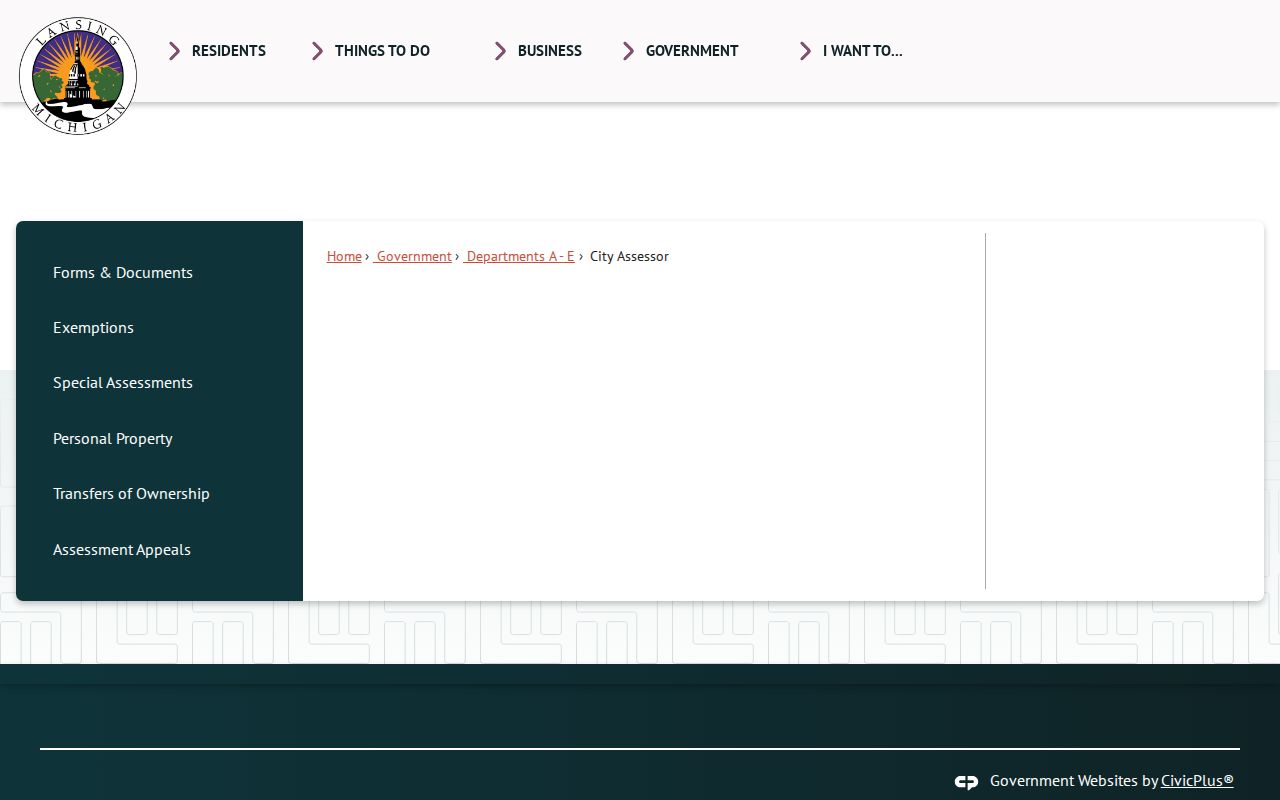
For deeds before 1960, arrange a Mason vault appointment through the Register of Deeds. Tapestry is listed by the county at $8.95 per search plus $1 per image page, and office copies are $1 per copied page. A deed can verify a recorded transfer, but not an actual move-in date or every person associated with the property.
Lansing Neighbor Civic Contacts
Lansing Civic Organizations routes Lansing neighborhood engagement through four ward pages and a “Where Do I Live in Lansing?” map. These official Lansing civic contacts help identify the Lansing ward framework and public community resources for an address. They are not member rosters, and the city material reviewed does not verify individual association names, homeowner-association coverage, or public membership lists.
| Official civic route | What it offers | Boundary caution |
|---|---|---|
| Northeast Ward, 1st | Lansing ward-based civic-organization resources | Use the Lansing city map to check the address before contacting a group. |
| Southeast Ward, 2nd | Lansing ward-based civic-organization resources | Public Lansing contact information is not proof of membership or occupancy. |
| Southwest Ward, 3rd | Lansing ward-based civic-organization resources | Lansing city ward geography differs from ZIP and parcel geography. |
| Northwest Ward, 4th | Lansing ward-based civic-organization resources | Use the Lansing “Where Do I Live?” map for the current civic route. |
A capture of Lansing Civic Organizations documents the ward and mapping entry point.
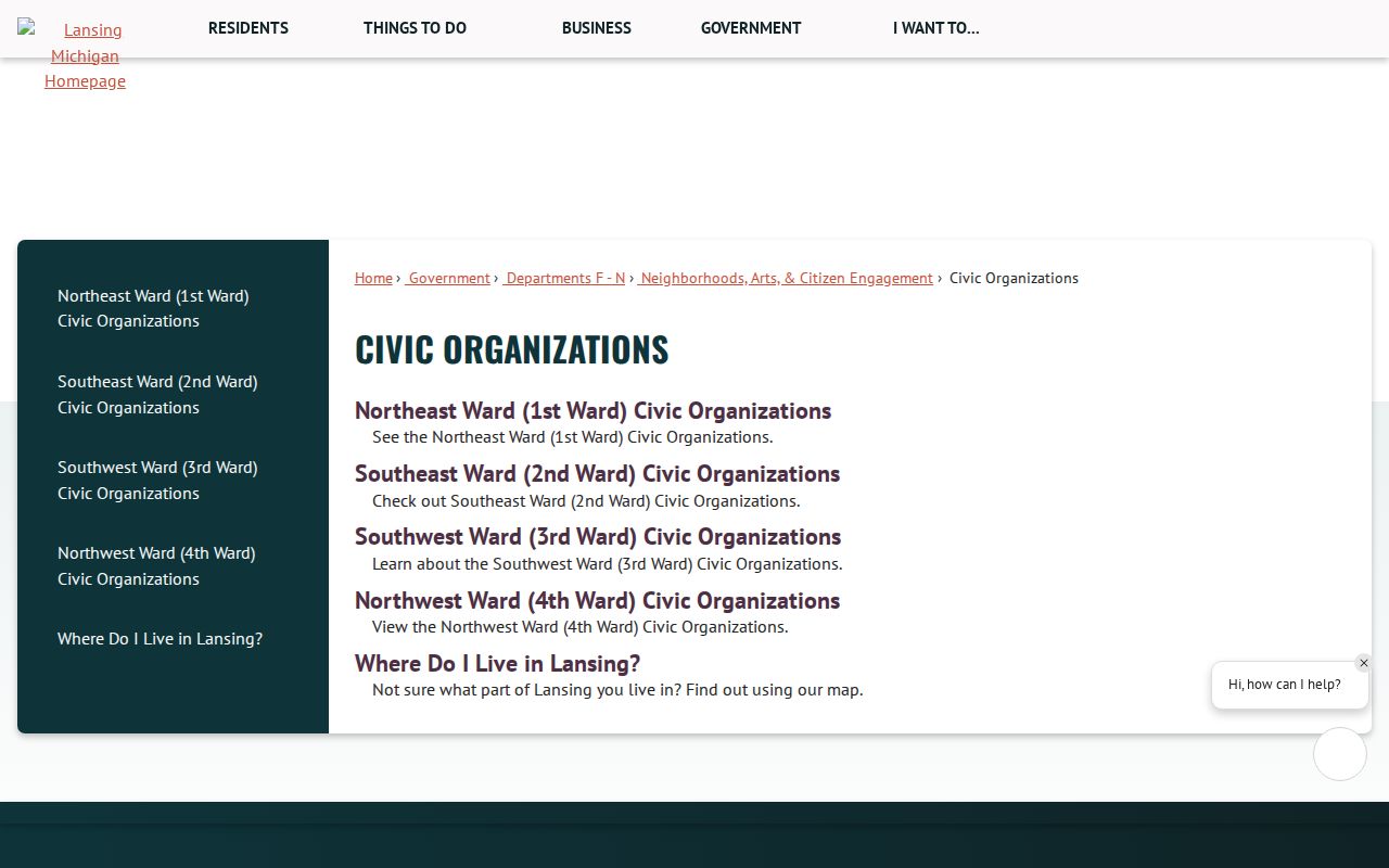
Historical association material can be a separate archive lead. CADL identifies the Ingham County Home Association collection for 1922 to 2021, but access and contact details require archive permission rather than an assumption of a current roster.
Lansing Neighbor Voter Boundaries
The Michigan Voter Information Center helps an individual check registration, local clerk, polling place, ballot preview, and election information. It is not a public browser for all voters on a block. A formal Qualified Voter File request can include complete name, residential address, mailing address when available, year of birth, registration date, status, voter ID, and history when requested, but the delivery and use rules still apply.
The state excludes month and day of birth, phone, email, driver or state-ID numbers, digital signatures, declined-registration records, and other protected fields from public QVF release. Michigan Address Confidentiality Program participants and other protected voters must not be reverse engineered from a designated or substitute address.
Note: Participation history concerns whether someone voted, not a ballot choice, and Michigan does not have public party-registration fields.
Lansing Neighbor Source Comparison
Official records and commercial neighbor-lookup products serve different roles. The first has a named custodian, a defined record type, and a way to check date and access limits. The second may combine property, licensing, voter, and other public material into a paid report, but it can merge same-name records or retain outdated entries. Neither category creates access to private utility, delivery, or household information.
| Official record path | Commercial neighbor category |
|---|---|
| Parcel, assessment, and deed fields can be checked with the relevant city or county custodian. | Coverage, update timing, and name matching can vary by provider and report. |
| Document placement, parcel ID, or legal description gives a reproducible trail. | A combined result may not show the source record or its date clearly. |
| Protected fields and confidential addresses remain subject to law and custodian rules. | Private customer and household records are not made public by a paid report. |
Lansing Neighbor History Layers
Historic block work has its own local crosswalk problem. Lansing changed address-numbering systems before adopting the Philadelphia or block plan in 1906. The 1913 Sanborn maps use dual numbers for many buildings. For a past block, use the address number in the directory year, then compare the street, Sanborn map, plat, and legal description rather than forcing the number into a modern parcel.
CADL's house-history resource connects city directories, Sanborn maps, historic permits, and real-estate collections. CADL's digitized permits cover 1930 to 1968, and construction permits cover 1923 to 1992. Those records add change dates to the block but do not convert historical address material into a current resident list.
Neighbor Lookup Limits in Lansing
Adjacent parcel owners are not necessarily the people living next door. Renters, family members, and other occupants are not automatically public in an address record. Owner mailing addresses can be outside the parcel, and homestead information is only an owner-occupancy clue. Utility customers, delivery customers, private membership lists, DMV addresses, protected voter data, sealed material, and confidential locations remain outside a normal block search.
The Michigan Address Confidentiality Program provides eligible people with a designated address and mail forwarding. Court and victim protections may also shield locations. A valid public-records purpose never permits attempts to expose a protected address.
Lawful use. Lansing neighbor research is limited to personal, civic, historical, and property questions. Never use a parcel, contact, or address trail to stalk, harass, intimidate, expose, or harm anyone.
Lansing Neighbor Access Routes
For a current parcel, begin with FetchGIS and the Ingham Equalization property route. For an older transfer, use the Register of Deeds online index, office copies, mail request, or Mason vault appointment according to the record date. For city permit material, use Lansing Building Safety online or in person, or request a defined record when it is not posted.
A written request for an identified public county record can follow the Michigan Freedom of Information Act process. The county accepts a letter, fax, email, or form and states five business days for a response, with one possible ten-business-day extension. Ask for the record and address range needed, not a private household list.