
Lansing Previous Residents Sources
One Lansing address can leave separate trails in Ingham County’s land index, CADL’s Lansing collections, Lansing maps, and released census schedules for Lansing. Use the source that matches the era. Lansing deeds establish recorded transfers. Lansing directories and census material place listed people at a Lansing address or within its old Lansing geography. Lansing permits and local property files add dates and physical details. None of these sources alone proves a complete list of past Lansing residents, especially where an old number or a changed street system interrupts the trail.
| Source | Years It Covers | Where Held | What It Shows |
|---|---|---|---|
| Ingham deed index | 1956-current online; earlier records in vault | Register of Deeds, Mason | Grantor, grantee, instrument, recording placement, and copies |
| Tapestry record images | Record data 1956-current; images 1960-current | Fidlar paid portal | Online document images and recorded-transfer details |
| Lansing directories | 1867-present print; full text through 1960 at CADL | CADL and MSU | Listed names, addresses, street listings from 1906, and businesses |
| Federal census | Decennial schedules through 1950 publicly released | NARA, Census, and CADL database access | Household relationships and address geography |
| Historic permits | City permits 1930-1968; construction permits 1923-1992 | CADL Local History Online | Address work and permit evidence; handwriting may limit searches |
| Sanborn maps | Named Lansing editions from 1868 through 1926 | Library of Congress; Archives of Michigan for 1868 | Building footprints, old numbers, and number-system bridges |
For a recent Lansing transfer, begin with the parcel and its recorded deed. For an older Lansing listing, use a directory year and test its number on a Lansing Sanborn map before carrying it into the matching census or deed search. The Lansing record trail remains continuous only when each bridge is documented.
Start a Lansing Past Resident Trail
Begin with the current Lansing parcel record, not a remembered name. CADL’s house-history guidance directs Lansing researchers to a modern property search by owner, address, or parcel number. If exact formatting fails, a Lansing street-only or house-number-range search can surface a Lansing parcel. Record the situs address for that Lansing parcel, its PIN, current record owner, and full Lansing legal description. The legal description, such as a plat lot and block, is the durable land identifier when a Lansing street number has changed.
A current owner for a Lansing parcel is not automatically a complete present or past resident list. A Lansing tax mailing address can differ from the physical parcel, and a Lansing deed records a conveyance rather than a move-in date. For current address-keyed records, the Lansing By Street directory follows the parcel route in more detail. Keep that Lansing work separate from the historical identity trail.
Ingham Deed Chain for Lansing Residents
For a Lansing recorded chain, work backward from the present parcel to the seller on its most recent deed, then to the seller’s earlier purchase. Search the current record owner as a grantee, because the grantee received the property. The prior seller is the grantor on that deed. Search that grantor as a grantee for the earlier acquisition, while comparing the legal description every time. Names can repeat, and Lansing street addresses are not the controlling reference in older Lansing land records.
Tapestry’s Ingham land-record entry point is the paid image route identified by the county.
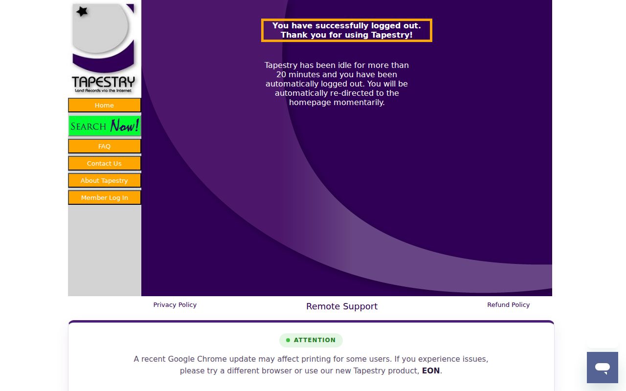
The screenshot represents an access route, not a complete chain by itself. The county lists Tapestry at $8.95 per search plus $1 per page, while office copies cost $1 per copied page. Record the document number or book and page, recording date, party roles, and Lansing legal description before moving to the next deed.
- Find the exact Lansing parcel through the current address, owner, or PIN search and copy the legal description.
- Search the current Lansing record owner as grantee in the Register of Deeds index.
- Open or request the purchase instrument, then identify the grantor, document reference, recording date, and legal description.
- Search that grantor as grantee to locate the earlier acquisition of the same described land.
- Repeat the sequence backward, checking the parcel, plat, lot, block, or metes-and-bounds wording used in Lansing at each transition.
- When the trail reaches the online boundary or a questionable index hit, use the Mason vault or a specific mail-copy request rather than guessing from the Lansing street address.
- Grantor / grantee
- The grantor conveys an interest; the grantee receives it. Their roles switch from deed to deed.
- Chain of title
- The documented sequence of recorded transfers connected by the same land description.
- Legal description
- The plat, lot, block, metes-and-bounds, or other land wording that controls the recorded parcel identity.
Lansing Previous Residents Index Gap
Ingham County’s free Direct Search index serves the Lansing trail from 1956 to the present, except for the last seven days. The county describes image access from 1956 forward, while its Tapestry detail describes images from 1960 forward. For Lansing research, treat that difference as an access detail, not a reason to assume a document is missing. The county also flags conversion discrepancies for 1956 through 1981 and describes records from 1982 forward as accurate.
For pre-1960 Lansing work, arrange a Mason vault appointment to use public computers and older deed books or indexes. Mason is the Ingham County seat, even though the address trail may begin in Lansing. The Register of Deeds accepts mail requests when the request identifies a name, property description, book and page, or document number. That fallback is essential for Lansing past residents whose trail reaches before the online range.
Insider tip. Compare a 1956-1981 index hit with the recorded image, legal description, and Mason vault material before treating it as a settled link.
Lansing Previous Residents and Old Numbers
Lansing used three address-number systems. The first, about 1867 to 1883, lacked block divisions and directional suffixes. The second, about 1885 to 1905, added directions and block divisions but often used residential numbers unlike today’s. The Philadelphia-style block plan began in 1906 and still governs current numbering. New building numbers were required beginning May 1, 1906.
The 1913 Sanborn maps provide a strong local crosswalk because they show dual numbers. Use them with an old directory, plat, and legal description before attaching a nineteenth-century number to a present parcel. The 1868 map covers Washington Avenue numbers only. A failed modern address search can therefore be a numbering issue, not evidence that no earlier resident was listed.
Lansing Past Resident Directory Flow
Lansing deeds identify recorded land transitions, but they do not name every person who lived at the address. Use the Lansing historical directory and census process for that separate question. Lansing city directories are address-keyed from 1906, making the Lansing street section valuable after the third number plan took effect. Earlier Lansing directories require a number crosswalk first. The collections themselves are kept in the Lansing City Directories.
- Choose a directory year close to the deed event or other Lansing dated address clue.
- Search the surname section, then the street section when the volume and year support it.
- Record the printed name, exact address, spelling variant, and any business or occupation clue.
- Translate a pre-1906 number with the 1913 Sanborn map or other documented map bridge.
- Compare the resulting address geography with the nearest released census, currently through 1950.
- Use the census household details as corroboration, not as a replacement for the directory or deed sequence.
Federal schedules follow a 72-year release rule, so 1960 is not scheduled for public release until 2032. Keep the Lansing census geography and old Lansing street wording together. A present address may not map cleanly to an earlier enumeration area.
CADL for Lansing Previous Residents
CADL publishes a Lansing house-history guide that joins Lansing property search, directories, Sanborn maps, permits, photographs, and real-estate collections into one local research path. Local History staff can help in person. The center lists 517-367-6313 and localhistory@cadl.org for contact, and Lansing items not already digitized may need a request or on-demand scan. The guide also cautions that municipal blueprints generally were not retained, so a missing plan does not prove a structure or alteration never existed.
CADL’s house-history research guide brings those Lansing sources together.
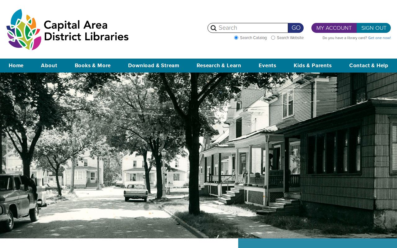
Historic Lansing city permits from 1930 to 1968 and Lansing construction permits from 1923 to 1992 are digitized through CADL. Their handwritten material is not fully transcribed and can contain spelling errors, so inspect Lansing images and try address variants. These records add work dates to the Lansing address trail without identifying every past resident.
Lansing Past Resident Property Cards
The Lansing Stebbins Real Estate Collection can preserve a Lansing mid-century property snapshot that a deed index will not show. CADL describes nearly 400 boxes arranged by Lansing street address. Historical Society material estimates about 90,000 cards. The files may include exterior photographs, listings, clippings, room counts, heating details, date-built information, price, and notes. The first portion is being digitized, while other material may be available through on-demand scanning.
Belon is the faster Lansing comparison source when the date fits. Its 1952 to 1970 cards and exterior photographs are fully digitized and organized by Lansing street name in CADL Local History Online. Stebbins was rescued from disposal, passed through local historians and Wayne State Archives, and then reached CADL. That preservation story is why a Lansing address search can uncover local material outside formal county books.
Lansing Previous Residents Endpoints
Finish a documented Lansing trail with records that can explain a later transition. CADL has Lansing State Journal microfilm back to 1879, though individual titles have gaps. Lansing obituaries can identify surviving family, a prior address, or a funeral home. Lansing cemetery staff for Evergreen, Mt. Hope, or North Cemetery may help with an interment question. Probate records can identify an estate or representative when public, with online Ingham Probate coverage reaching back to 1986 and older material requiring the clerk or archive route.
No Lansing endpoint proves a later address alone. Compare Lansing obituary language, a cemetery response, probate dates, and a deed transfer before reaching a conclusion about who lived here before.
Lawful personal use. Use Lansing past-resident records for family or property history, and never use a result to track, contact, stalk, or harass a living person.