
Trace a Lansing Street Directory Record
A Lansing address is the useful starting point for a Lansing street directory search because it connects a current Lansing parcel to several independent records. First verify that the address is inside the correct Lansing city or township unit. Then use the Lansing property record to collect the parcel identifier, physical address, owner name, mailing address, and legal description. Those fields make later Lansing searches repeatable. They do not convert an owner into a complete list of people at the house.
- Search the Lansing address, Lansing owner, or Lansing parcel number through Ingham County Equalization. If exact formatting fails, try a house-number range or the Lansing street name alone.
- Locate the same Lansing parcel in FetchGIS. Record the PIN, situs address, parcel shape, and any visible Lansing report details before following adjacent parcels.
- Search the recorded owner as a grantee in the Ingham County Register of Deeds index. Match the legal description, not only the street address, before treating a deed as the same property.
- Use the Michigan Voter Information Center only for its individual registration function. A street-wide public browse is not provided. A formal Qualified Voter File request has its own limits and protected fields.
- For an earlier name at the address, consult CADL's street and reverse listings, then bridge old numbering with maps and directory dates. The historical collection is explored more fully in the Lansing City Directories.
Keep the parcel number, deed document placement, and directory year with each note. This protects against a common mix-up: a similar name or a nearby lot can look persuasive while referring to a different property.
Lansing Street Directory Record Types
Street-addressed material in Lansing is spread among Ingham County, Lansing city, and Lansing library custodians. The Lansing property record and Lansing parcel map are strongest for a present land connection. The Lansing deed index establishes a recorded conveyance. Lansing permits establish work at an address, while historic Lansing directories place people or businesses at a date. A Lansing voter record has access rules and cannot be treated as a roster of every person on the block.
| Address record | Keeper | What it can show | Access route |
|---|---|---|---|
| Lansing assessment and property roll | Local Lansing assessor / Ingham Equalization | Lansing owner, situs, mailing address, parcel, values, exemptions, characteristics | BSA property route for Lansing, FetchGIS, or assessor office |
| Lansing GIS parcel map | Ingham Equalization and MSU RS&GIS | Lansing parcel geometry, nearby parcels, layers, zoning, and report fields | Public Lansing FetchGIS viewer, not a legal survey |
| Lansing recorded instruments | Ingham County Register of Deeds for Lansing | Lansing grantors, grantees, legal descriptions, plats, and conveyance trail | Free index for Lansing, paid images, office copies, Mason vault |
| Lansing building permits | Lansing Building Safety and CADL | Lansing address, applicant, owner, work, inspections, and dated changes | Lansing city online or in-person route; historic CADL collections |
| Lansing street listings | CADL and MSU Libraries | Historic Lansing occupants, owners, businesses, and former numbering | Lansing library collections and in-branch research |
| Lansing voter data | Michigan Bureau of Elections | Lawfully released Lansing registration fields under request rules | Individual MVIC function or formal QVF request for Lansing |
The Lansing street name links these sources, but the Lansing parcel and legal description are the more durable land identifiers. Recorded Lansing plats can use a lot and block instead of the familiar street number. When a Lansing address and deed seem to conflict, check the PIN and legal description first.
Search Lansing Streets in FetchGIS
FetchGIS supplies the practical Lansing map step for a Lansing street directory search. It supports a Lansing address search, parcel ID, owner-name, intersection, and coordinate modes. After selecting a Lansing parcel, the viewer can display the property address, owner address, current and prior assessment figures, acreage, zoning, tax description, sales and tax history, and building details when those fields are available for the parcel.
| FetchGIS field or mode | How it works |
|---|---|
| Street Address | Search by Lansing street number and/or name, using separate house-number and street inputs. |
| Parcel ID No. (PIN) | Use the five visible input boxes when a Lansing parcel identifier is known. |
| Owner Name | Search a Lansing tax-record owner when an address is unknown or needs confirmation. |
| Intersection Search | Enter a first and second Lansing street to orient a street-by-street review. |
| Coordinate Search | Use StatePlane or longitude and latitude values when other Lansing address forms fail. |
| Selection tools | Use map selection, buffers, labels, CSV export, print, or PDF tools after locating the Lansing parcel. |
The Lansing viewer offers layers and basemaps along with a buffer, Save CSV, and Create Labels controls. Those functions organize a Lansing parcel review. They are informational tools, not proof of a surveyed boundary or a complete household list.
Available Lansing parcel reports can also show frontage, depth, land value, sales information, living area, rooms, basement details, garage or porch information, and delinquent-tax history. Field availability varies by Lansing parcel and local unit. A blank or missing field is not proof that a condition, person, or earlier record does not exist.
Note: FetchGIS labels its mapping data as informational, as-is material rather than a legally recorded map or survey.
Lansing Street Address Field Options
Lansing address records use similar words for different things. Reading them correctly stops a Lansing tax contact address from being mistaken for a residence. It also makes a Lansing street directory search more useful when an older Lansing deed names only a subdivision, lot, and block.
- Parcel
- A taxable Lansing unit of land represented by a PIN or parcel identifier in the assessor and GIS records.
- Situs address
- The physical Lansing location of the parcel. It is different from an owner's mailing address when tax mail goes elsewhere.
- Plat
- A recorded Lansing subdivision map that identifies land by lot and block. It can bridge a deed description to a current parcel.
- Criss-cross directory
- An address-oriented Lansing directory section that works from street and number toward the historic listing, rather than beginning with a surname.
Owner mailing information is useful for identifying the tax-record owner. It is not evidence that the owner occupies the situs, and it never establishes every person in a household. A homestead exemption can be an owner-occupancy clue, but it is not conclusive current-residence proof.
Lansing Permit Records by Address
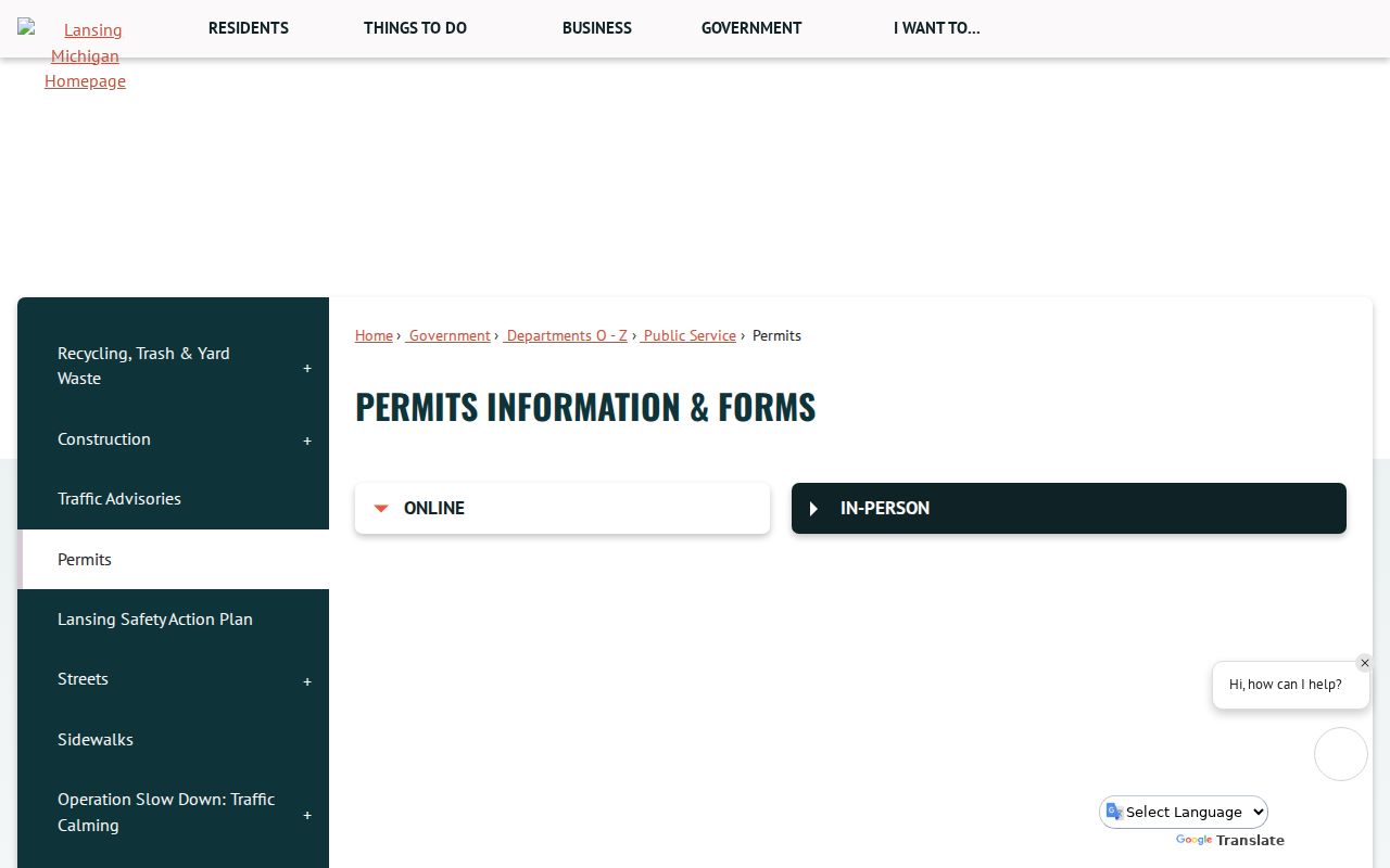
Lansing Building Safety provides online and in-person permit access routes. The city's retention schedule describes a permanent permits database with permit number and type, address of work, applicant and license information, inspection activity and comments, building owner, work description, design professional, approvals, fee activity, and demolition information. The public text did not expose a live permit-search form, so an address-specific request may be needed when the visible online route does not answer the question.
A capture of the Lansing permit information service documents the city access route.
Permit records can date construction, alteration, or demolition activity at an address. They do not prove who lived there on the permit date. For earlier work, CADL has digitized City of Lansing permits from 1930 to 1968 and construction permits from 1923 to 1992; handwritten entries can contain spelling errors and incomplete transcription.
Lansing Street Directory Numbers Since 1906
Insider tip. A historic address must be read in the numbering system used by its directory year. Lansing used a first system from about 1867 to 1883 without block divisions or directional qualifiers. A second system, about 1885 to 1905, added directions and blocks but often differs from today's residential numbers. The Philadelphia or block plan began in 1906 and remains the current system.
CADL advises searching a full street name without quotation marks, then browsing a number range when the exact house number does not work. Do not abbreviate North, South, East, West, Street, Road, or Boulevard in its subject headings. The 1913 Sanborn maps use dual numbers for many buildings and offer the most useful local crosswalk when a former number fails to fit the modern block.
Street listings in Lansing city directories begin in 1906. Earlier volumes may still identify a household by name and street, but the number needs separate verification from maps, tax ledgers, or the legal description.
Lansing Street Deeds and Legal Descriptions
The Ingham County Register of Deeds maintains the recorded land trail for Lansing parcels, even though the main office and older-record vault are in Mason. Start from the current owner and parcel details, search that owner as grantee, open the purchase deed, then use the seller as a prior grantee while matching the same legal description. A deed records a conveyance or encumbrance. It does not establish move-in dates or everyone who lived at the address.
The free Direct Search index covers 1956 to the present except the most recent seven days. County material says the 1956 to 1981 conversion still has known discrepancies, while 1982 forward is described as accurate. For image access, Tapestry is listed at $8.95 per search plus $1 per image page; office copies are $1 per copied page. Pre-1960 research requires a vault appointment in Mason, or a mail request that identifies the property description, book and page, or document number.
The Ingham Direct Search index is the county's online entry point for that deed trail.
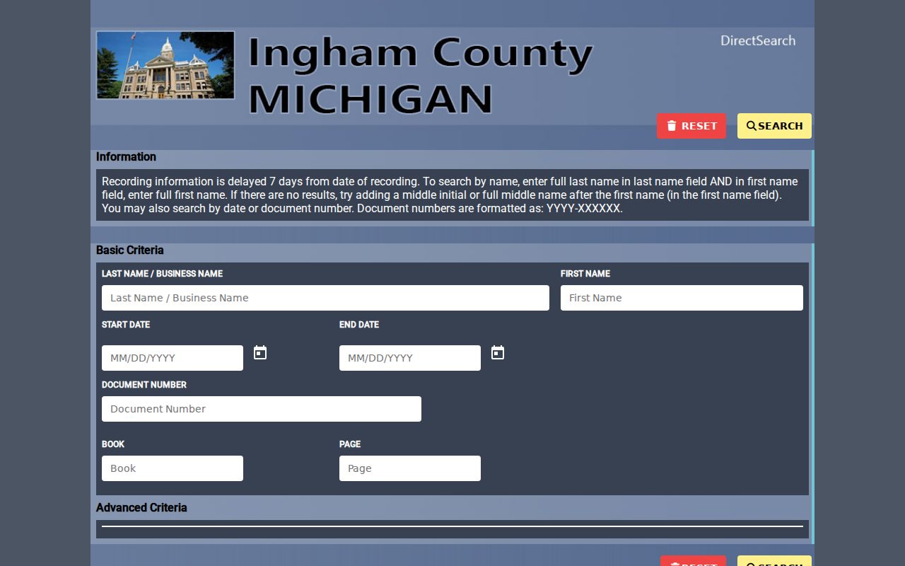
Use the displayed index as a starting point, then preserve the document placement and legal description for a later office, mail, or paid-image request. That matters when an address is absent from an older deed index entry.
Lansing Street Directory History Aids
For a former household, CADL's address-oriented directory material supplies the human layer that a deed cannot. The library holds Lansing print directories from 1867 forward, and its street listings begin in 1906. CADL's Local History collections, MSU's Polk holdings, Sanborn maps, property files, newspapers, and assessor photographs are separate evidence streams. Use one to locate a name or number, then confirm the match with a dated land or address record.
CADL's house-history research route also points to old permits, city directories, Sanborn maps, and real-estate collections. The practical sequence is street name, historical number, directory year, and a map or legal-description check. It avoids assuming that a modern number existed before the 1906 change.
Note: A historical directory placement is a dated listing, so it should be paired with a second local record before drawing a household conclusion.
Street Directory Limits in Lansing
Myth: an owner result is the same as a household roster. It is not. Public parcel records identify ownership and tax contacts, while renters, relatives, and other household members may have no public address-keyed record. Michigan voter access also has boundaries: MVIC is an individual status tool, and a Qualified Voter File request excludes month and day of birth, phone, email, state ID data, signatures, and other protected material.
The Michigan Address Confidentiality Program protects eligible participants through a designated address and mail forwarding. Court protections can shield locations too. DMV address data, utility customer names, private delivery records, and protected voter addresses are not opened merely because a street address is known.
Lawful use. Lansing street records support personal, historical, civic, and property research. Never use an address trail to stalk, harass, intimidate, expose, or harm anyone, and do not try to work around protected-address rules.
Lansing Street Directory Access Routes
When an online search stops short, use the custodian that holds the record. The Register of Deeds takes older deed research through its Mason vault by appointment and accepts mail copy requests. The Equalization office and local assessor remain the property-record contacts when a vendor display is incomplete. Lansing Building Safety offers online and in-person permit access, while CADL provides local-history help for address, street-keyword, directory, and permit research.
A specific public record that is not posted can be requested from the appropriate Ingham County custodian under the Michigan Freedom of Information Act process. The county accepts a written letter, fax, email, or form. It states a five-business-day response period with one possible ten-business-day extension, and fees can cover search, review, separation, copying, and mailing.